
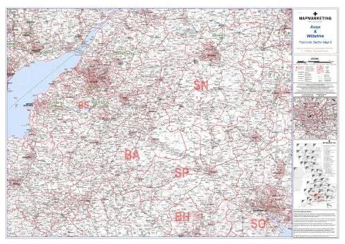
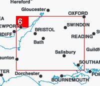
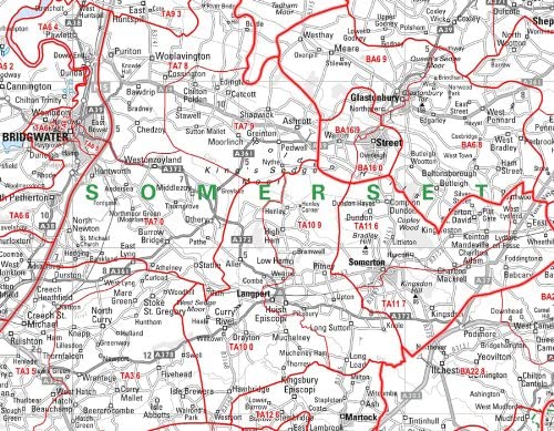
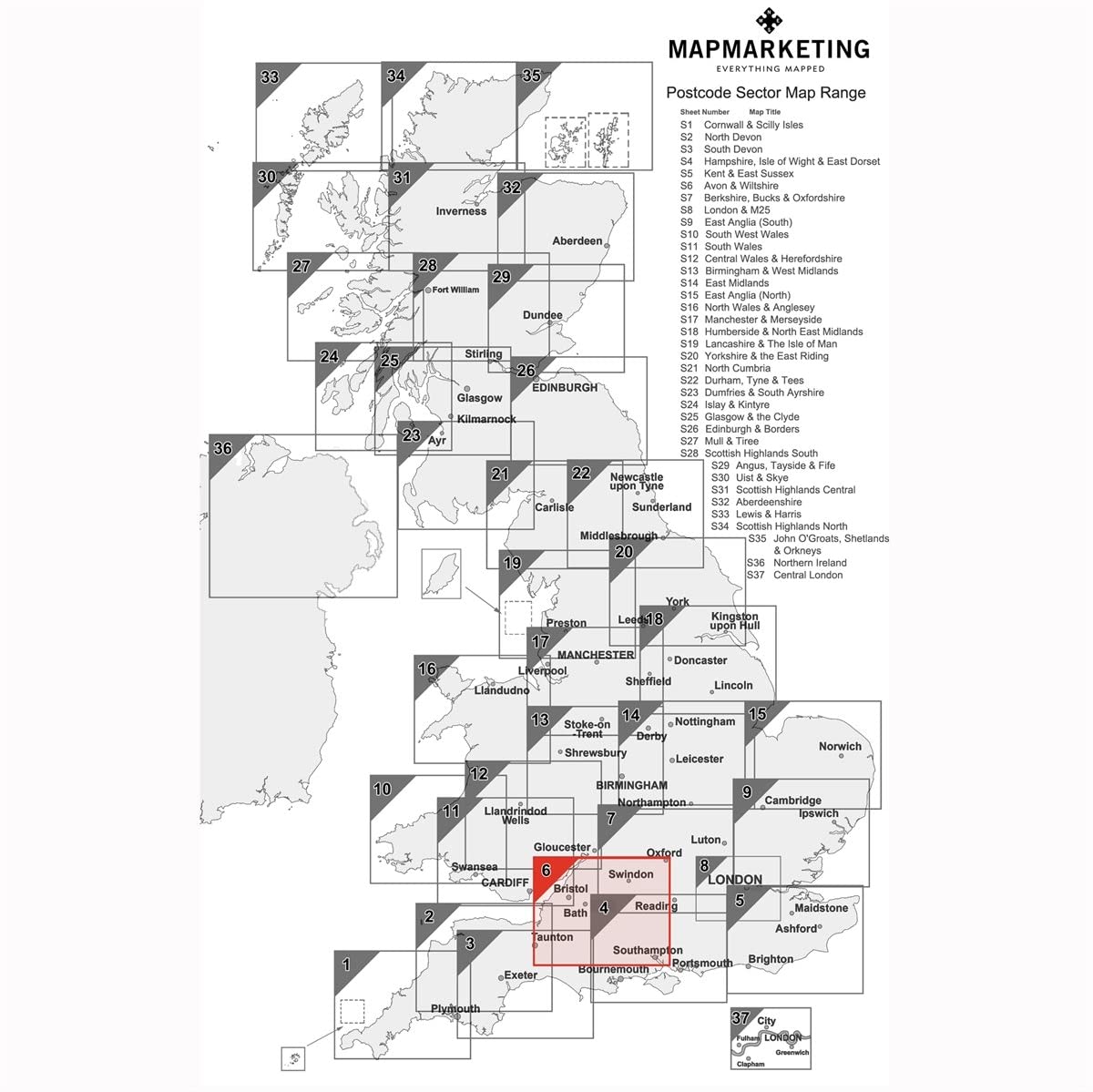
Avon and Wiltshire Postcode Sector Map 6 – Laminated Wall MapSize: 73 x 107 cm (29 x 42 inches)e: 1: 150 000 (2.4 miles to 1 inch)raphical Coverage GuideNorth: StroudSouth: Wimborne MinsterEast: NewburyWest: TauntonThere are 37 pre-defined map sheets covering the UK at Sector level displaying all of the first part of the Postcode and the first number of the second part, or Inward Code, at a scale of an inch to 2.4 miles Sector maps include all of the Postcode changes in the most recent Royal Mail Postcode Update R54 (March 2012), District and Sector boundaries and numbers/letters are shown in red with County and Unitary Authority boundaries presented in green map base shows motorways, primary, ‘A’ and down to unclassified roads with conurbation shapes and city plan insets showing street level detail for major cities.

Avon and Wiltshire Postcode Sector Map 6 – Laminated Wall Map
Avon and Wiltshire Postcode Sector Map 6 – Laminated Wall Map
AUD $162.00
- Make sure this fits by entering your model number.
- Geographical Coverage Guide – North: Stroud. South: Wimborne. Minster. East: Newbury. West: Taunton.
- The map shows the first part of the Postcode and the first number of the second part of the Postcode.
- This map is permanently bonded between two sheets of tough, flexible, crystal-clear plastic.
- This map includes all of the Postcode changes from the most recent Royal Mail Postcode Update.
- Size: 73 x 107 cm (29 x 42 inches). Scale: 1: 150 000 (2.4 miles to 1 inch).
Additional information
| Weight | 0.845 kg |
|---|---|
| brand | Map Marketing |
| dimensions | 107 x 73 x 0.1 cm |
Reviews
There are no reviews yet.